Chosen by Congress as the site for a permanent seat of government in 1790, Washington became one of the few cities in the world planned expressly as a national capital. Pierre-Charles L’Enfant’s plan was influenced by Baroque landscape architecture, with wide avenues radiating from the Capitol and the executive mansion through an orthogonal grid of streets resulted in an interesting complex of circles, squares and parks.
The McMillan Commission, created in 1901, developed sweeping initiatives for extending the L’Enfant Plan and for establishing strong standards for parks, monuments, public buildings, and scenic vistas far beyond the monumental core of D.C. The intersection of the street grid and diagonal avenues, and with more than 200 bridges, creates a system of parks, open space, and vistas that are integral to the District’s historic street network.
 moveDC
moveDC is the District’s long-range (25-year) intermodal transportation plan with goals to improve safety, mobility, and equal access while effectively managing improvement projects. Eighteen policies provide direction to DDOT to define how the goals will be achieved, with 41 strategies of specific actions needed to accomplish the goals. moveDC is performance-based and uses quantifiable metrics for each strategy and time frames to guide planning and project development and assist with decision making.
The street grid is now being modified with new traffic calming efforts and construction of bicycle lanes, some protected, and the removal of on-street parking. Also, Streateries developed during COVID are being kept along a few streets in some commercial areas, altering historic street layouts and traffic patterns.
In several subject areas, moveDC treats the District as an island. Commuter rail is not mentioned at all; transit is considered Metrorail and Metrobus only. Efforts to reduce vehicle traffic address only District residents.
moveDC Plan Website
11th Street Bridge
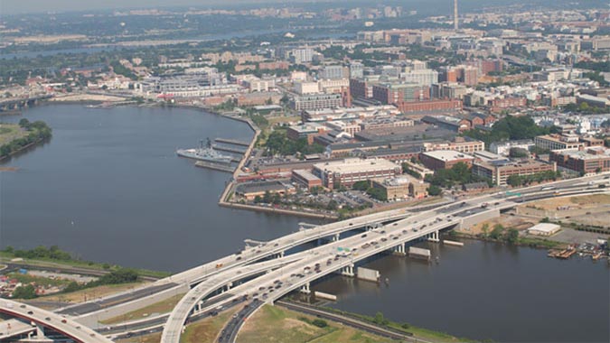
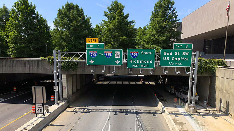
The 11th Street project replaced two bridges across the Anacostia River in the Southeast, built in the 1960s, with three new bridges that would separate local and freeway traffic. Also provided were interstate connections between I-695 (known as the Southeast-Southwest Freeway) and DC-295 that had been omitted in the original design, fixing a long-standing deficiency that forced motorists to use local streets to connect to and from both freeways.
In 2009, the C100 opposed the revised design for the 11th Street Bridges and requested the Federal Highway Administration (FHWA) reconsider its July 2009 decision. Changes in the design concerning alignment and connections to the interstates had reversed the fundamental assumptions that had been used in completing the Federal Environmental Impact Statement (FEIS). The new information included traffic data revised to the extent that the key project rationales were undermined, and significant deficits with this information undermined its reliability.
The C100 felt compelled to speak out in an effort to avoid spending huge sums of public money on a project that appeared likely to exacerbate congestion and its related impacts.
Project Profile at the FHWA Website

