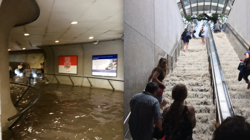
Planning for Flooding in Washington
Large areas of Washington are within the 100- year or 500-year flood plains. The 100-year flood plain is sometimes expressed as a one percent (1%) chance of flooding in a given year, and the 500- year flood plain as a 0.2 percent (1 in 500 chance) of flooding in a given year. Planning for the effects of climate change on the built environment and infrastructure must take into account where flooding will occur, and how flooding can be prevented or mitigated.
The map, Washington DC Buildings at Risk from Flooding, shows the effects of the 100-year and 500-year floodplains on the current and future built environment. This map was produced using data from the Office of the Chief Technology Officer (OCTO). OCTO maintains map data for many aspects of geography, e.g., streets, rivers, buildings, and also receives flood plain data from FEMA (most recently in 2016). This data was downloaded from www.octo.dc.gov and combined to show flood plains in relation to streets, rivers and buildings, using ESRI software.
The white paper presents planning options from other cities facing flooding risk These options should be considered for flood planning in Washington, DC:
- Option 1: Build a wall/berm along certain sections of the Anacostia River and place new development behind the berm.
- Option 2: Raise flood-prone areas elevation to be above the 500-year level.
- Option 3: Require land uses in flood plains that can easily survive flooding.
- Option 4: Build all structures in the floodplain using flood-resistant materials and designs. Option 4 must be required, not optional.
Documents
 C100 Planning For Flooding In Washington Draft
- September 2020, Beth Purcell, et al.
The District government needs to act now to prevent flooding. The risk of floods in Washington is increasing and threatens the city. The District government should respond now to the threat of 100-year and 500-year floods. We urge the District government to get in front of the problem, adopt the management principle of no adverse impact from flooding, and create a floodplain management plan for all floodplains in the city. - C100 Planning For Flooding Executive Summary
- June 18, 2019, Stephen A. Hansen
- 2019-05-08 C100 Flood Plain White Paper
- May 8, 2019, Beth Purcell, et al.
It is critical that the Comprehensive Plan adopt the 500-year floodplain as the basis for climate change planning, and the Generalized Policy Map and the Future Land Use Map must show the 500-year floodplains. - C100 Flood Map 1 Anacostia River
- May 2019, Beth Purcell, et al.
A map of buildings at risk from flooding showing the 100 year zone and the 500 year zone.